You have no items in your shopping cart
Various maps of Imray, pilots and almanacs for navigating and information about ports or marinas.
C10 Imray chart edition 2004, printed 2005
Read more
C12 Imray chart edition 2004. printed 2005
Read more
C30 Imray chart edition 2005, printed 2006
Read more
C58 Imray chart edition 2002, printed 2002
Read more
C60 Imray chart edition 2006. printed 2006
Read more
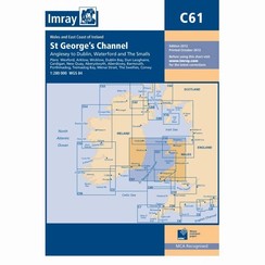
C61 Imray chart edition 2004, printed August 2004
Read more
G121 Imray chart edition 2004. July printed 2004
Read more
Mediterranean Almanac 2009 - 2010 Rod Heikell y Lucinda Michell - Imray
Read more
The Shell Channel Pilot The South Coast of England & The North coast of France by Tom Cunliffe - Imray Laurie Norie and Wilson
Read more
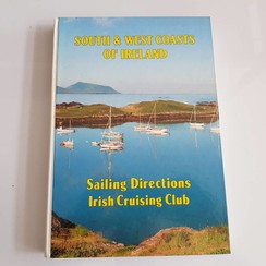
South and West Coasts of Ireland . Sailing Directions. Irish Cruising Club
Read more


